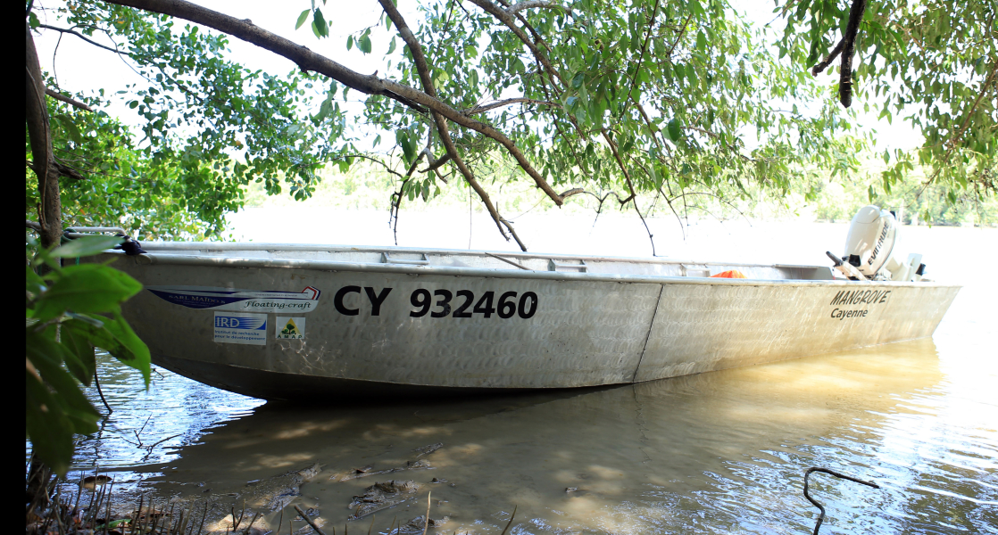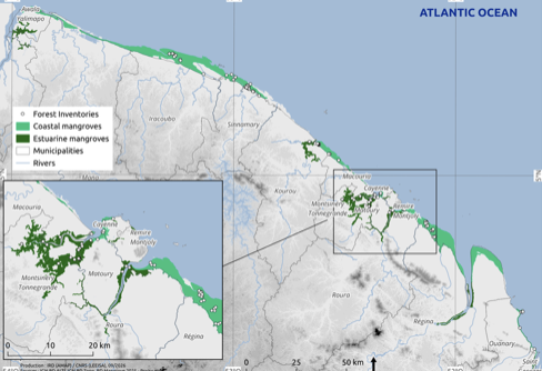
This dataset shows the extent of mangroves along the entire Guyanese coastline in 2025. This can be visualised and estimated based on the area, expressed in hectares, of several hundred mangrove polygons (MangArea field). Coastal mangroves can be distinguished from estuarine mangroves using the CoastType field. The delineated areas either correspond to patches of forest with varying degrees of canopy closure, or to the outlines of individual tree canopies.
Tropical estuaries and mangroves in the global carbon cycle