Guadeloupe Island, located in the Caribbean (Lesser Antilles) will be one of the TROPECOS’ study site for research experiments, in collaboration with BOREA team based in Pointe-à-Pitre.
The mangroves of Guadeloupe cover 8,000 ha of forest, 30% of which are mangroves open to the ocean, located mainly along the coast of the Grand Cul-de-Sac Marin (GCSM) bay and dominated by the species Rhizophora mangle (Figure 1). Guadeloupe's mangroves are also home to lagoon systems bordered by mangroves, such as the “Manche-à-Eau” site, a 28-hectare stretch of salt water with a maximum depth of 3 m.
The mangroves of Guadeloupe are relatively well preserved, under the protection of the Guadeloupe National Park, with environmental conditions that are highly favourable to their development and little pressure on the north-eastern part of the GCSM bay, in the vicinity of Port-Louis. However, the mangroves in the centre of the island (Jarry, Rivière salée) are still heavily impacted by human activities, various forms of pollution, illegal dumps, excess freshwater inflows and global warming.
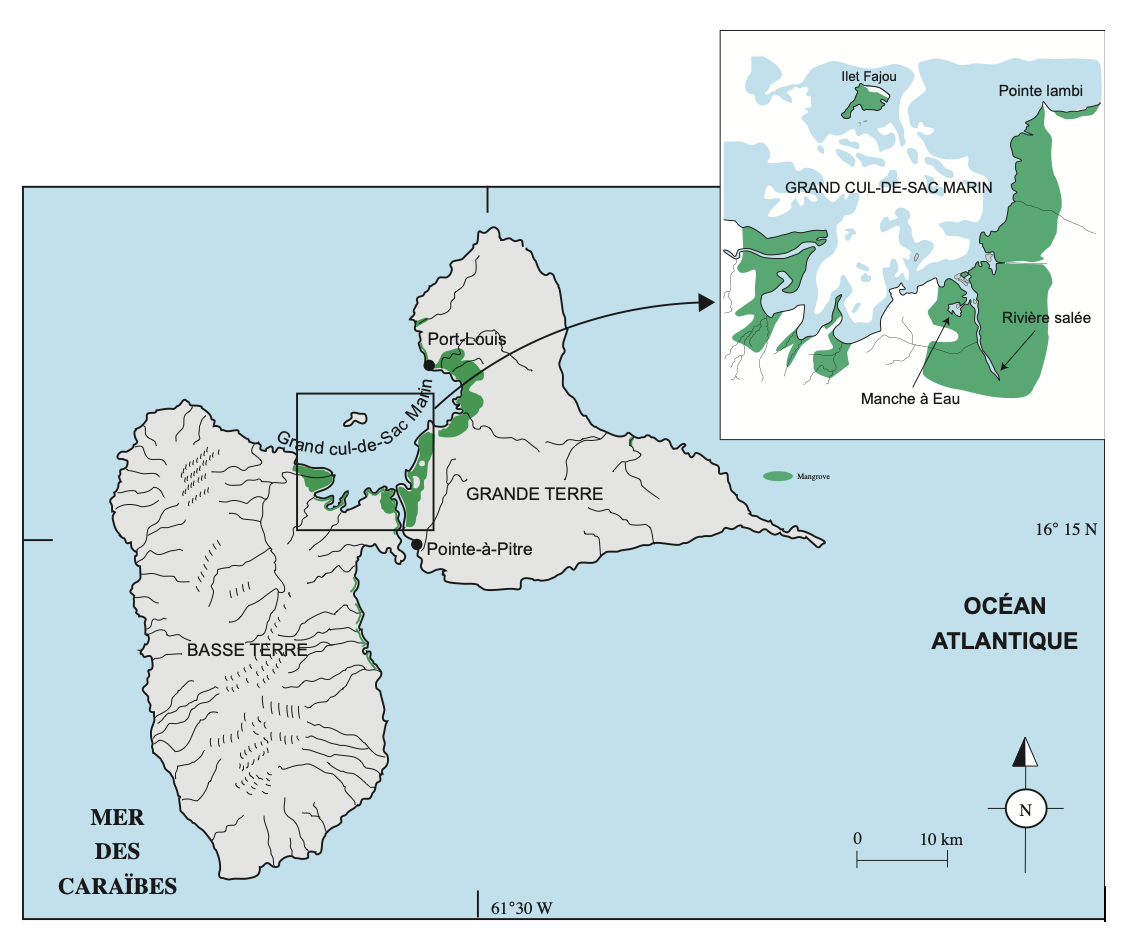
Cartography of mangroves in Guadeloupe
TROPECOS research activities in Guadeloupe will include field measurement and samplings, but also controlled experiments in mesocosms (Figure 2). Infrastructure of the BOREA lab at the Université des Antilles in Pointe-à-Pitre is particularly convenient for mesocosm experiment, with an immediate access from the campus to the mangrove sites.
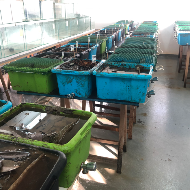
Controlled experiments in mesocosms (Credit Mathias Chynel)

 Mathias Chynel")


