Biomass

New dataset: The extent of mangroves in French Guiana in 2025 by Proisy et al.
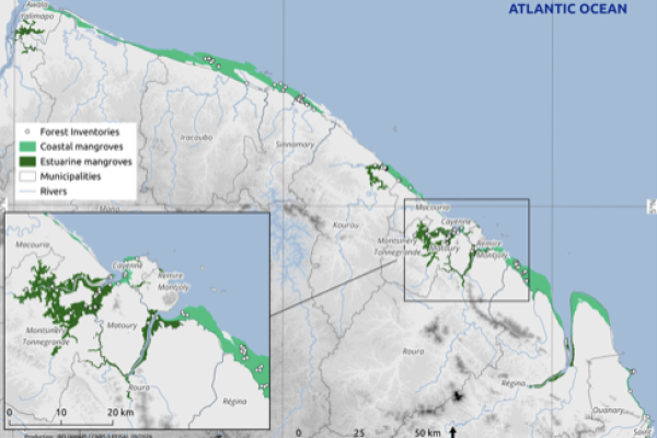
This dataset shows the extent of mangroves along the entire Guyanese coastline in 2025. This can be visualised and estimated based on the area, expressed in hectares, of several hundred mangrove polygons (MangArea field). Coastal mangroves can be distinguished from estuarine mangroves using the CoastType field. The delineated areas either correspond to patches of forest with varying degrees of canopy closure, or to the outlines of individual tree canopies.
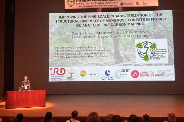
Presentation of Quentin Marsal at the 7th Mangrove Macrobenthos and Management Conference (MMM7)

7th Mangrove Macrobenthos and Management Conference (MMM7)

IMPROVING THE FINE-SCALE CHARACTERIZATION OF THE STRUCTURAL DIVERSITY OF MANGROVE FORESTS IN FRENCH GUIANA TO REFINE CARBON MAPPING

By Quentin Marsal (1,3), Christophe Proisy (1,2), Thibault Catry (3,4), Elodie Blanchard (3), Maxime Dutour (1,2) and Jean-Luc Maeght (1)

1: IRD UMR AMAP, Montpellier, France

2: IRD UMR AMAP, Cayenne, French Guiana, France

3: IRD UMR ESPACE-DEV, Montpellier, France

4: KHEOBS Laboratory, Phnom Penh, Cambodia