7th Mangrove Macrobenthos and Management Conference (MMM7)
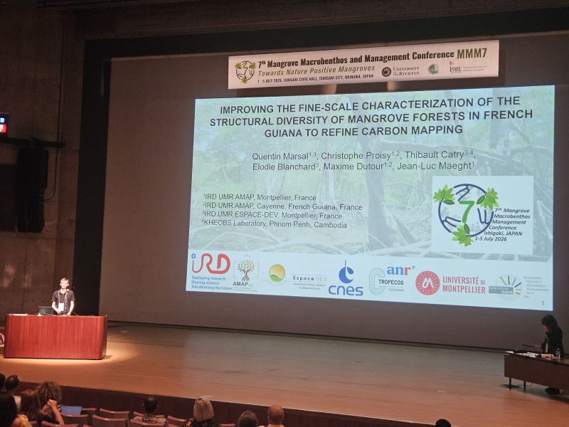
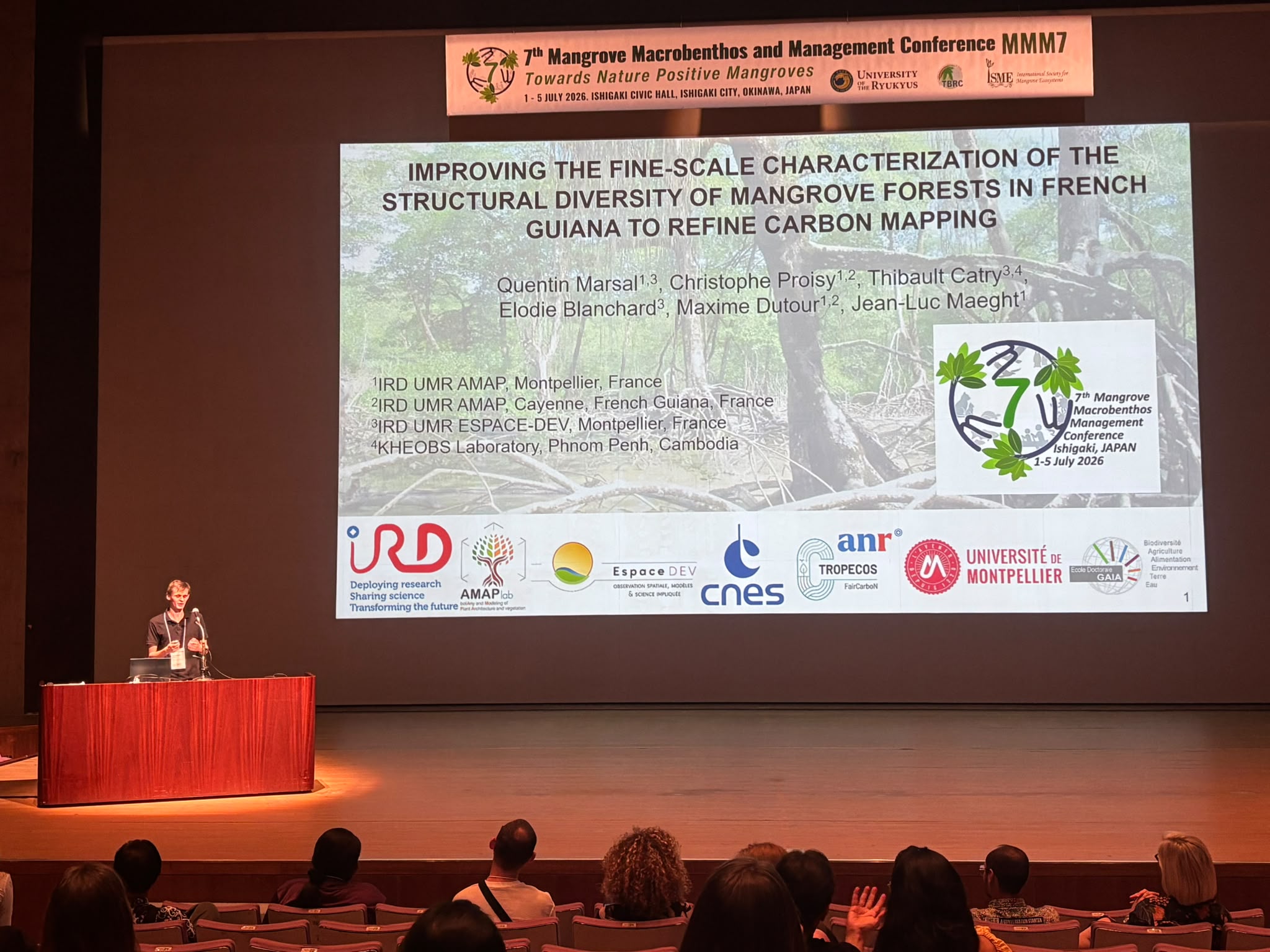
IMPROVING THE FINE-SCALE CHARACTERIZATION OF THE STRUCTURAL DIVERSITY OF MANGROVE FORESTS IN FRENCH GUIANA TO REFINE CARBON MAPPING
By Quentin Marsal (1,3), Christophe Proisy (1,2), Thibault Catry (3,4), Elodie Blanchard (3), Maxime Dutour (1,2) and Jean-Luc Maeght (1)
1: IRD UMR AMAP, Montpellier, France
2: IRD UMR AMAP, Cayenne, French Guiana, France
3: IRD UMR ESPACE-DEV, Montpellier, France
4: KHEOBS Laboratory, Phnom Penh, Cambodia
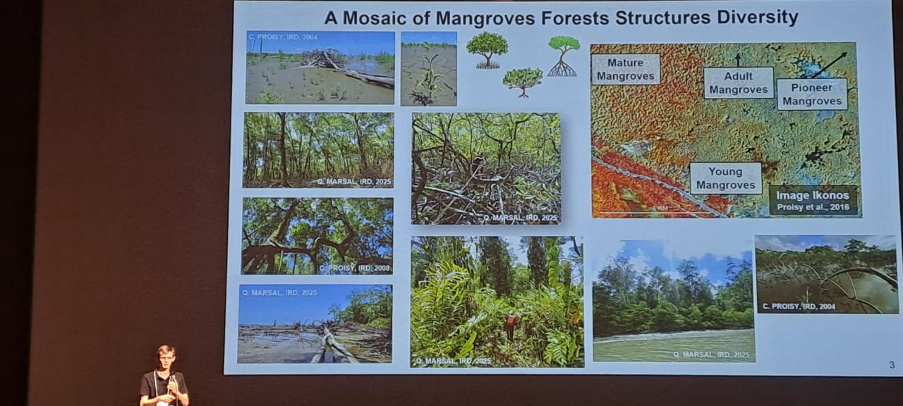
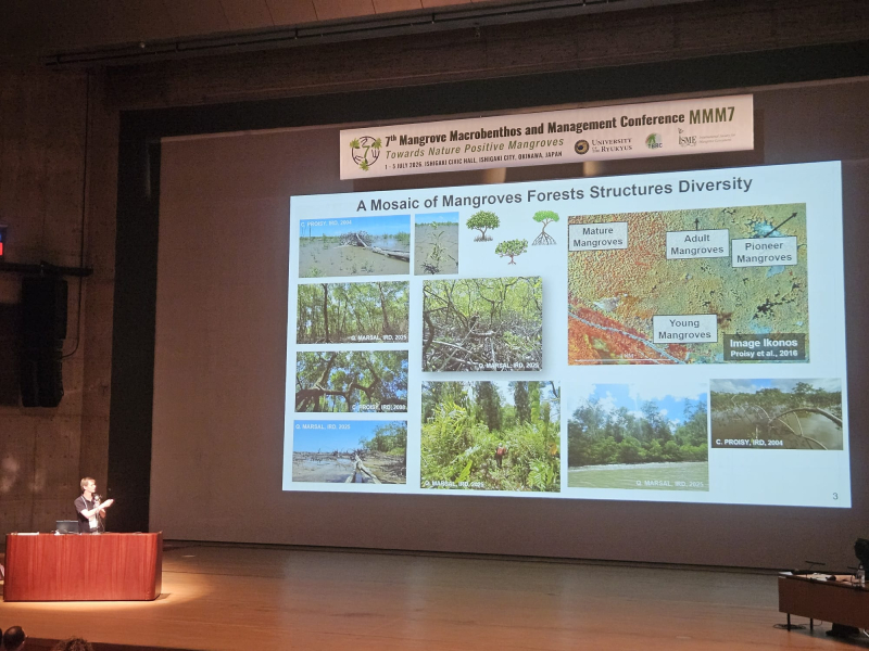
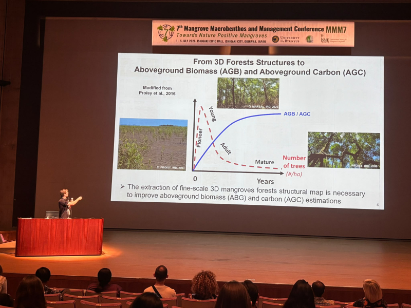
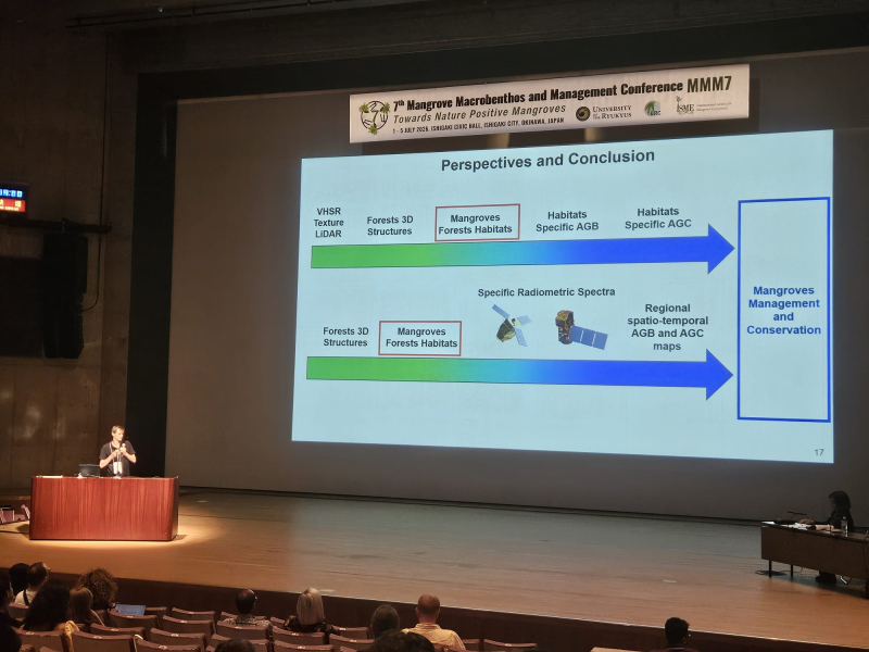
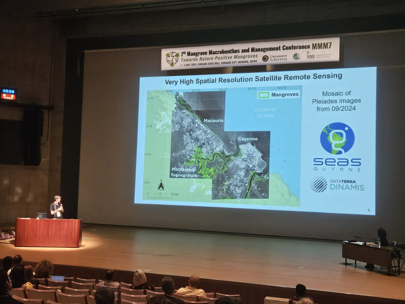
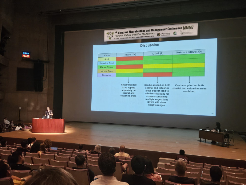
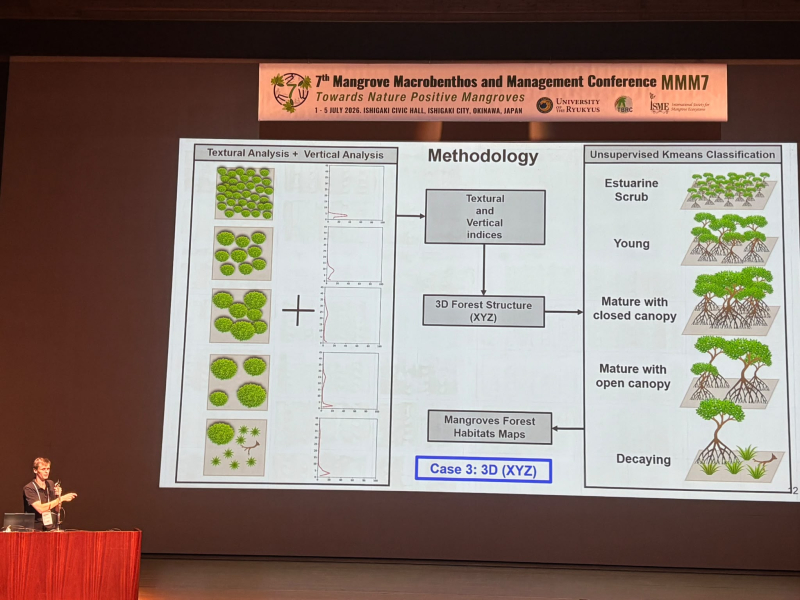
The structural diversity of mangrove forests closely reflects the variability of their carbon storage potential. However, more research is needed to accurately map forest physiognomy and estimate carbon storage at a fine scale. For this, Very High Spatial Resolution Satellite (VHSRS) imagery has proven useful for distinguishing forests of different ages and physiognomies, based on image texture analysis of forest canopies. The spatial organization of the upper levels of the forest canopy, known as the 'canopy grain', is correlated with above-ground biomass in mangroves. However, in certain types of forest, such as those with shrubby vegetation or open tall forest canopies, canopy grain may not reflect the underlying structural organization. Airborne Light Detection and Ranging (LiDAR) can provide complementary information on the forest vertical structure. This information can be extracted by analyzing vertical profiles of laser cloud points.
This study examined whether combining textural analysis from VHSRS images and LiDAR vertical profiles analysis could enhance mapping of the various types of mangrove forest within a large estuarine area in French Guiana. The fine-scale map, produced at a scale of 1:1000, reveals the spatial distribution of the various mangrove types, which were classified using data from forest inventories as follows: 1) coastal pioneer, 2) coastal young, 3) adult with closed canopy, 4) tall mature with closed canopy, 5) tall mature with open canopy, 6) decaying tall and 7) estuarine dwarf. These results provide a unique spatial distribution of diverse forest types from the upstream to the downstream areas in the estuary, with complex structural gradients extending from the riverbanks to the interior. We discuss the implications of this for improving above-ground biomass estimates, emphasizing the importance of linking below-and above-ground carbon estimations at a fine scale in relation to forest structural diversity.